Large-scale Virtualization and Modeling Lab (LVML)
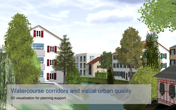
The LVML is a center for landscape research and teaching capable of supporting trans-disciplinary planning and design through advanced 3D visualization and modeling techniques.
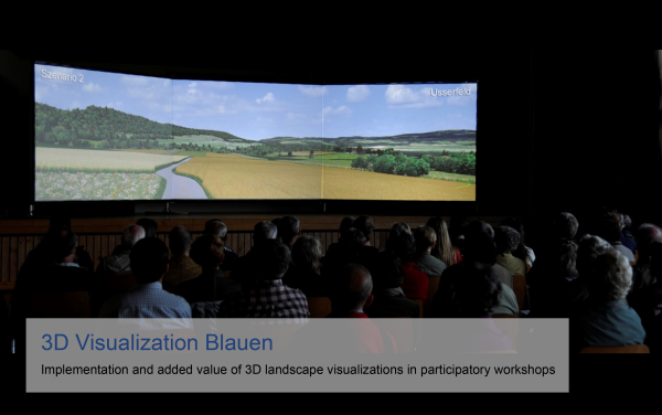
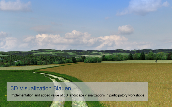
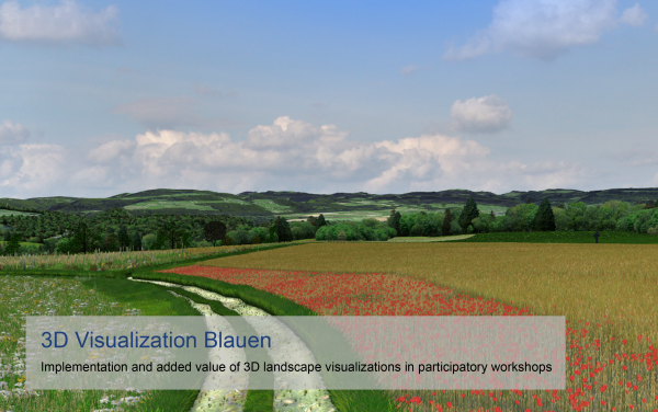
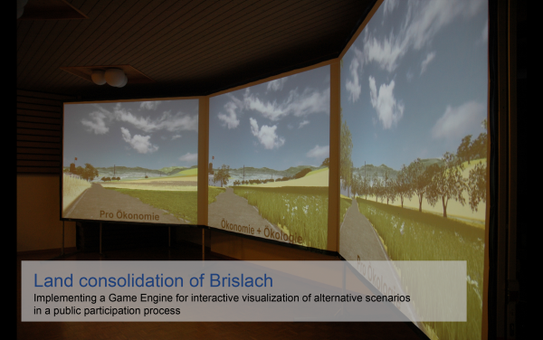
Securing landscape qualities that can support human well-being in the long term calls for (1) integration of diverse disciplinary and local knowledge, and (2) designing innovative, socially acceptable landscape management and development strategies. More collaborative planning and design approaches supported by adequate tools are, hence, regarded essential. In this context, GIS-based 3D visualization and modeling provide powerful tools to integrate scientific knowledge of complex socio-environmental systems into collaborative planning and design approaches.
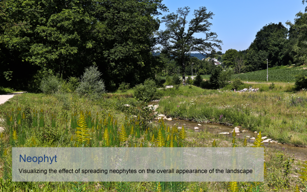
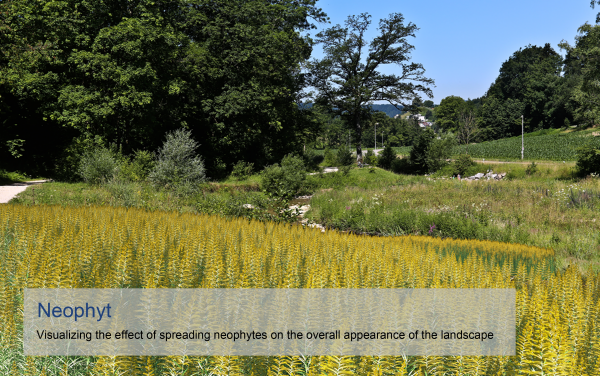
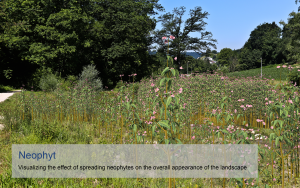
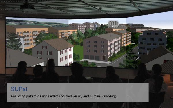
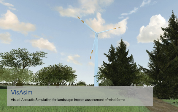
For state-of-the-art research and teaching on combining GIS (short for “geographic information systems”) information with advanced visualization techniques, we founded the Landscape Visualization and Modeling Lab in 2009. This interdepartmental lab is designed and run in close collaboration of the Chair for Planning of Landscape and Urban Systems (PLUS, D-BAUG) with the Chair of Landscape Architecture (ILA, D-ARCH). This interdisciplinary collaboration fosters generating new kinds of workflow between engineering and design, further informing design values with high scientific precision. With the specialized Equipment and the Visualization/Modeling Lab as well as the Audio/Visual Lab we develop new methods in modeling, making changes visible and audible, analyzing, and designing of landscapes.
Contact and coordination: Ulrike Wissen Hayek
