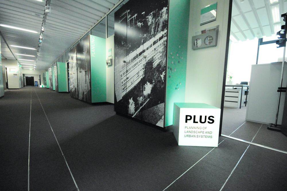
Chair
The Chair of Planning Landscape and Urban Systems (PLUS) aims at advancing knowledge on how the interactions of humans with their environments shape landscapes and vice versa.
We strive to identify principles of sustainable landscape development by synthesizing empirical evidence across different temporal and spatial scales. We focus on advancing innovative approaches using land-use decision models in forecasting and backcasting models to inform and guide the sustainable transformation of urban, peri-urban, and rural areas.
Building on decision-making theories, we develop new approaches and decision support platforms to help negotiate short- and long-term landscape development and land management goals that transcend sectors and scales. For fostering participatory landscape planning, we investigate how people perceive the landscape using cognitive psychological approaches in the Landscape Visualization and Modeling Lab.
The advancement of 3D visualizations and auralizations of landscape changes bridges the gap between scientific research and direct participation of stakeholders. For engaging in social learning, we explore how an iterative process between design and science can allow co-creating place specific responses satisfying human needs and demands for well-being in a sustainable manner.
Research and consulting activities of PLUS are focused on:
- the use of cognitive psychological methods to better understand the fundamental interactions between landscape structures and human behavior. By recording physiological and cognitive responses to virtual landscape changes in the AudioVisual Lab using VR systems and the Mobile Visual-Acoustic Lab, we assess people’s landscape perceptions and their sense of place in various contexts.
- the development of participatory land-use decision models in for- and backcasting modes to identify landscape development pathways, allowing stakeholders to reach their desired goals. By developing the simulation models in collaboration with stakeholders, we incorporate several levels of information sophistication, ranging from expert judgements to field observations and quantitative simulations to engage in a learning process and develop more salient and legitimate landscape development solutions.
- the development of point cloud technologies to bridge landscape design and planning. The point clouds generated with laser-scanner technologies provide a common ground between architects, engineers, and scientists to develop informed landscape design. We investigate the use of such approaches in several contexts, from understanding the role of new renewable energy infrastructures in various landscapes in Switzerland to developing denser and greener cities in mega-cities across the world.