Further Developments for Agricultural Planning (LP+)
Lien vers la version française
Introduction

A fundamental reason for the insufficient implementation of agricultural plans is the lack of acceptance and cooperation by the actors involved. For experts, planning content is usually in the foreground; communication mainly serves to add factual and specialised information. However, past planning results show that making specialised knowledge available alone does not produce an effect and, in fact, only produces an effect when it is part of a communication concept and the plan has an underlying shared system of values.
Motivation
Many of the problems in the implementation of spatial plans result from the fact that a planning task is perceived and evaluated by the participating actors in different ways. In the planning process various opinions, values and interests compete with one another; it is therefore a struggle about who can achieve which benefits and who has to carry the burden. In order to successfully design a planning process that leads to a large acceptance with a concluding implementation is of critical importance to make the various positions visible and to put them into relationship with one another. The planning process thus rests on two columns: 1) the discussion on specialised and technical questions and 2) the participation of the actors through an appropriate communication process.
Agricultural planning is a proven informal planning process for the coordination of spatial development in rural regions. In order to increase the acceptance of planning, there is a way to demonstrate its effects in a participative process and to work out development goals together with the participants. This especially affects the design of the use of a space regarding the revised RPG, revitalised bodies of water, local planning, networking projects, landscape quality projects and infrastructure projects, as well as building outside of the building zones.
Goal
The goal of this project is to expand the long prevailing agricultural planning sector in order to open the instrument for further spheres. Agricultural planning has the potential to coordinate the development of rural spaces; to do this, however, the various interest groups must cooperate. Accordingly, this instrument must have the appropriate properties to support the formulation of a mutual vision.
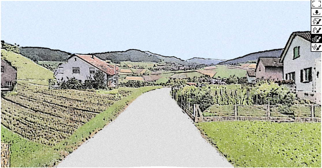
The purpose of building up both the information and communication processes within the process of agricultural planning is to bundle the various interests in the agricultural space and to use them synergistically. In addition, computer supported modules should be developed, in particular for the integration of scenarios, visualisations and indicators.
Process
To determine the process-specific needs and requests, the previously conducted agricultural plans will be analysed. The focus here will be on goal setting, indicators, and types of land use that have been in use for a long time. The actor-related needs will be investigated using a SWOT Analysis, including the tax group and the support group (42 people). These results will be worked out, especially the strategy in relation to the further development of the agricultural plan. These include:
- Development of participative land-use models using Bayesian networks with the involvement of a group of experts
- Development of a tool to represent generic landscape visualisations based on computerised scenarios
- Development of key indicators for agricultural planning
- Creation of a platform to support communication in the process of an expanded agricultural plan
- Extension or supplementation of the modular build up of the agricultural plan, especially the integration of visualisations
Expected Results
The results will be compiled as a modular platform, which as a simple to use visualisation tool, will be used to strengthen planning in rural regions. This tool uses participative modelling and visualisation, as well as existing and newly developed indicators, in order to make the antecedent evaluation of possible spatial developments possible. A well-founded vision and strategy development as well as strong controlling within the planning process will support the targeted developments, mainly overall community cooperation and participation using agricultural planning.
Within the scope of the project, three student projects have been completed so far:
- Download Wahrnehmung von Landschaftsvisualisierungen; Jens Fischer; 2018 (PDF, 65.3 MB)
- Download Wie gut kann die Landschaft eines Ortes auf generischen Skizzen dargestellt werden?; Fabian Meisser; 2018 (PDF, 5.8 MB)
- Download Erkennen und Bewerten der Landschaftsfunktionen und -Leistungen in einer Skizzenartigen Visualisierung; Nadine Biver; 2018 (PDF, 9.1 MB)
Duration
December 2015 - December 2018
Financing
Bundesamt für Landwirtschaft (BLW)
Kanton Aargau
Kanton Glarus
Kanton Luzern
Kanton Solothurn
Kanton St. Gallen
Kanton Waadt
Project Team
Contact
Sven-Erik Rabe