Building outside the building zones: Study advocates inter-cantonal coordinated monitoring
A study by ETH Zurich shows new approaches on how an intercantonal harmonized monitoring of construction outside of building zones can contribute to sustainable spatial development. It offers a wide range of evaluations of developments outside the building zone, including analyses of the stabilization of buildings and soil sealing, as required by the recently revised Federal Spatial Planning Act (RPG 2).

Buildings and traffic infrastructure outside of building zones are increasing annually in Switzerland. As part of its spatial observation, the federal government has already established a monitoring system for constructions outside building zones. However, this monitoring has so far lacked important aspects regarding impervious surfaces, particularly the influence of building surroundings and traffic areas, as well as the specific use of buildings. The project therefore aimed to close these information gaps and develop an "Intercantonal coordinated monitoring of construction outside building zones" in close cooperation with pilot cantons (AI, AR, BE, GL, SG, VD) and the federal government (ARE, FOEN, FOAG).
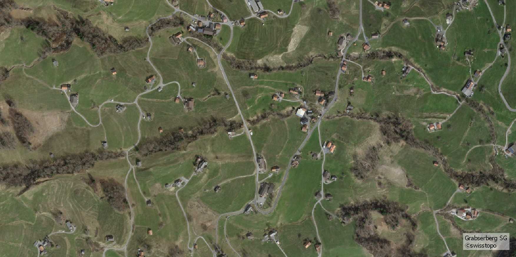
The impervious surface was determined in the pilot project using cadastral data. However, this data does not fully capture the building area with the associated surrounding area and the type, extent and time of changes are not historized. The addition of swisstopo aerial orthophotos enables a more precise determination of soil sealing. The evaluations by ETH Zurich in the pilot cantons show that the sealing caused by surrounding areas such as parking lots, access roads and garden seating areas is greater than that caused by the buildings themselves. Recording the impervious surface caused by traffic areas requires an improved data situation and the development of adapted remote sensing analyses.
The Federal Register of Buildings and Dwellings (RBD) of the Federal Statistical Office already provides extensive building data. However, the use of buildings outside the building zone is often not clear from this data. New approaches based on a combination of high-resolution orthophotos and machine learning enable a more detailed analysis of the use of agricultural buildings and residential buildings. According to this, less than half of the residential buildings in the pilot cantons today have a functional relation to agriculture management, and the majority of agricultural buildings are used for livestock farming.
The ETH study concludes that an intercantonal harmonized, efficient approach to monitoring is necessary in order to implement a quantitative solution for the whole of Switzerland. This requires a revision of the way in which the central data sets are recorded and processed, as well as an improvement of the necessary interfaces. In particular, the project group agreed that the RBD must be positioned as a reference information system and that the cantonal building permit systems must be better integrated. As long as this is not yet available, various data sets and aerial images must be linked and the results remain subject to uncertainties.
Report (in German)
https://www.bab-monitoring.ethz.ch/downloads/ETHZ_Monitoring_BAB_Empfehlungen.pdf
Further information
https://www.bab-monitoring.ethz.ch